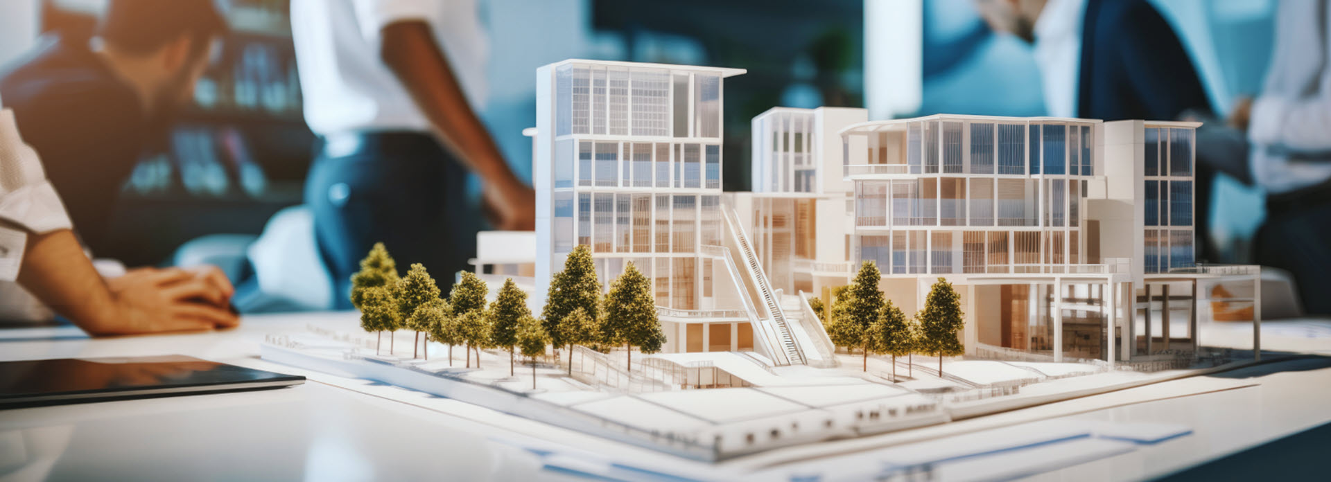
Real Estate Site Selection
More Efficient Feasibility Study with GEOVIA Urban Planning
Start Land Prospecting with GEOVIA Solutions
When planning a real estate project, conducting a thorough feasibility study is essential to assess its potential viability and profitability. GEOVIA Urban Planning solutions ensures geospatial awareness as an integral part of your project.
Centralizing Document Management for Enhanced Collaboration
By using the 3DEXPERIENCE platform, centralize all your documents on a secure cloud and enhance collaboration among your teams. You can aggregate, store, and share all your documents in one place for a single source of truth.
Through a role-based system, each stakeholder has specific access to the information level corresponding to their needs. Construction project documents often change, making it difficult to determine the latest version. That is why we have implemented a traceability system where each modification is recorded under the person's name and sends a notification to the rest of the group. This way, you can progress efficiently and make decisions as a team. Despite the duration and complexity of your projects, we help you maintain consistency of your datasets.
Position your Project within its Immediate Context
Beyond simply storing your documents, we assist you in understanding them and placing them in their context. There is no longer a need to consult each document separately. Thanks to our compatibility with main building information modeling and geographic information system formats (IFC, CityGML, etc.), GEOVIA Urban Planning solutions enable you to build a digital twin from different mix 2D and 3D sources. For instance, in context of a land lot you can visualize information on land use, transportation lines, or points of interest and draft your project.
Key Benefits of GEOVIA Real Estate Site Selection Solutions
Advanced Geospatial Awareness
GEOVIA’s solutions integrates geographic information systems (GIS) data, providing an accurate digital twin for better decision-making.
Streamlined Collaboration
Real estate developers and stakeholders can collaborate on a unified platform, ensuring smooth communication across teams.
Efficient Land Prospecting
By consolidating the digital twin of your territory with geospatial data such as land use models, transportation networks, and points of interest, you can easily identify prime locations.
FAQ about Real Estate Site Selection Analysis & Feasibility Study
Also Discover
Learn What GEOVIA Can Do for You
Speak with a GEOVIA expert to learn how our solutions enable seamless collaboration and sustainable innovation at organizations of every size.
Get Started
Courses and classes are available for students, academia, professionals and companies. Find the right GEOVIA training for you.
Get Help
Find information on software & hardware certification, software downloads, user documentation, support contact and services offering


