Geology Modeling
Create Accurate, Reliable Geology Models for Mining and Civil Projects
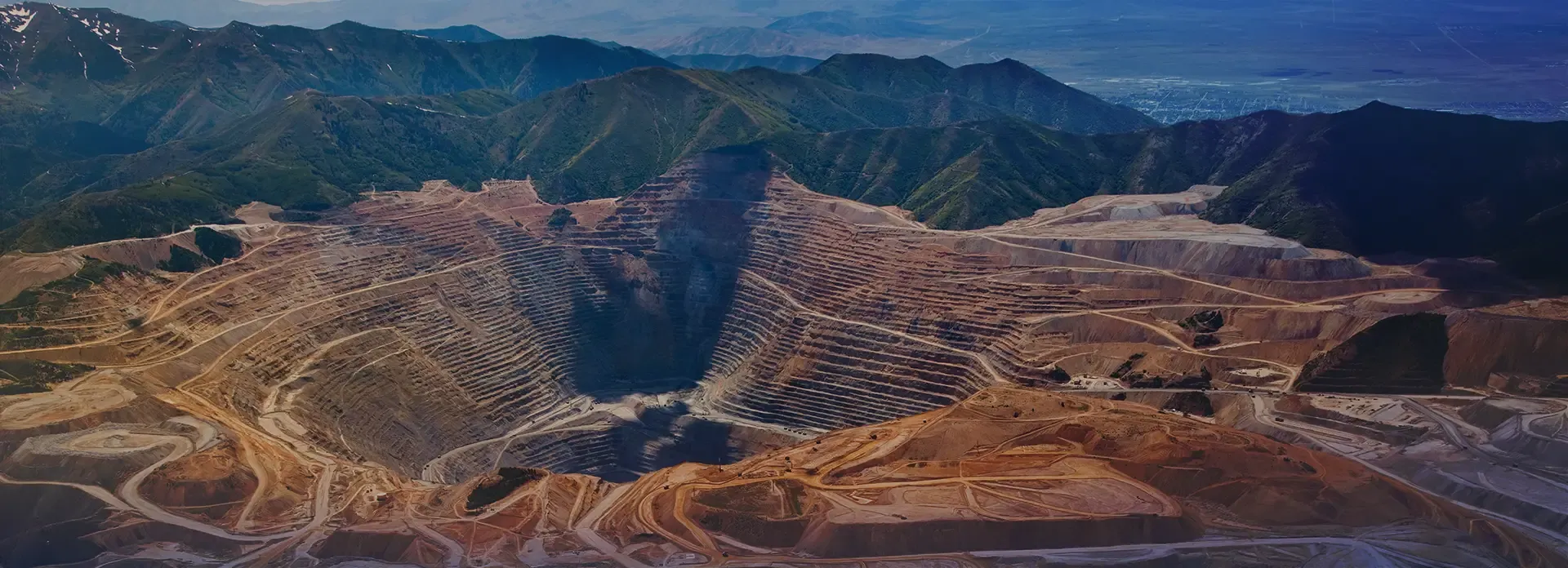
Navigate Subsurface Complexity with GEOVIA
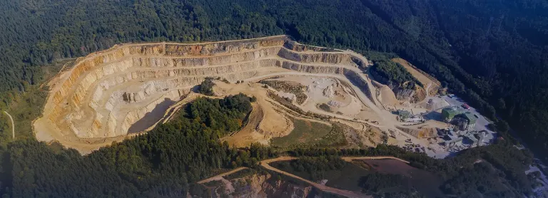
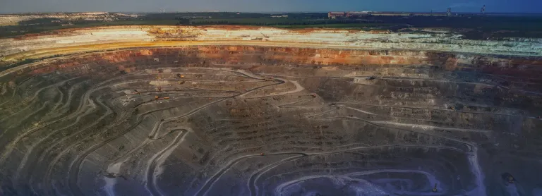
Geoscience data sits at the core of every technical and financial decision in mining and civil infrastructure. It defines the location, geometry and grade of an orebody, making it one of the most critical assets in the lifecycle of any project.
Organizations invest significant time and resources each year to acquire new datasets, refine interpretations and maintain evolving geological models. As analytical technologies advance, historical data becomes even more valuable, unlocking new insights and extending the life and relevance of existing information. However, data alone is not enough. True value comes from transforming that data into accurate, dynamic models of the subsurface.
GEOVIA enables you to go beyond data collection, empowering you to visualize complex geology with clarity, validate assumptions and confidently test scenarios above ground. The result is smarter, faster and more reliable decisions below ground.
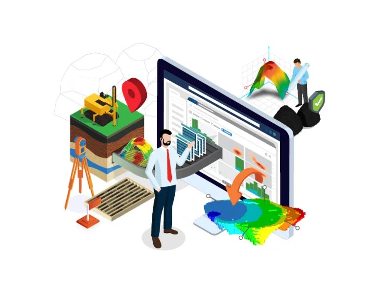
Better Geological Data Understanding for Informed Decisions
Geologists today work with large volumes of data from location and structural information to geochemical, lithological and remote sensing datasets. More data brings better insight, but only if it can be effectively managed and visualized.
Before building accurate models, geologists need to clearly see their data to identify trends, patterns and potential errors.
GEOVIA Surpac makes this easier, helping you bring all your data together, validate it and build reliable, evidence-based geological models with confidence.
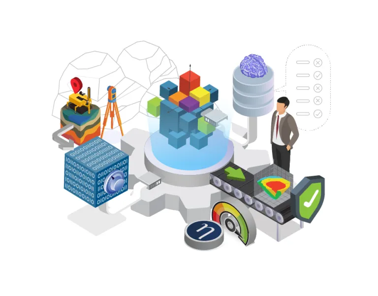
Test Your Hypotheses Above Ground to Ensure the Best Possible Below-Ground Decisions
GEOVIA supports the creation of accurate, reliable geology models that clearly show both subsurface resources and natural hazards by providing geologists with applications and workflows that allow them to:
- Import, manage, and securely store all their geoscience data
- Improve the efficiency of their geology modeling by automating and accelerating the data consumption and geological modeling process
- Generate consistent 3D geology models based on geoscientific best practice
- Integrate predictive machine learning data directly into the geology modeling process, and
- Carry out comprehensive data interrogation and scenario analysis to test hypotheses.
Surpac’s improved geostatistics capabilities provide me with greater confidence in my exploration data and block model validation, enabling more accurate estimations. Improved charting and data processing means my workflow is more streamlined and faster, in particular its declustering feature that generates a representative data distribution through sample weighting
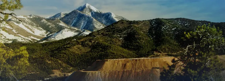
Start Your Journey
The world of Geology Modeling is changing. Discover how to stay a step ahead with GEOVIA.
GEOVIA Geology Modeling FAQ
Also Discover
Forging a Responsible Future Through Sustainable Mining
Modernize and Elevate Your Strategic Mine Design
Drive peak performance and obtain maximum value in your operations

Elevate Operational Outcomes and Unlock Value
Generate More With Less Through Advanced Mine Operations Management
Learn What GEOVIA Can Do for You
Speak with a GEOVIA expert to learn how our solutions enable seamless collaboration and sustainable innovation at organizations of every size.
Get Started
Courses and classes are available for students, academia, professionals and companies. Find the right GEOVIA training for you.
Get Help
Find information on software & hardware certification, software downloads, user documentation, support contact and services offering