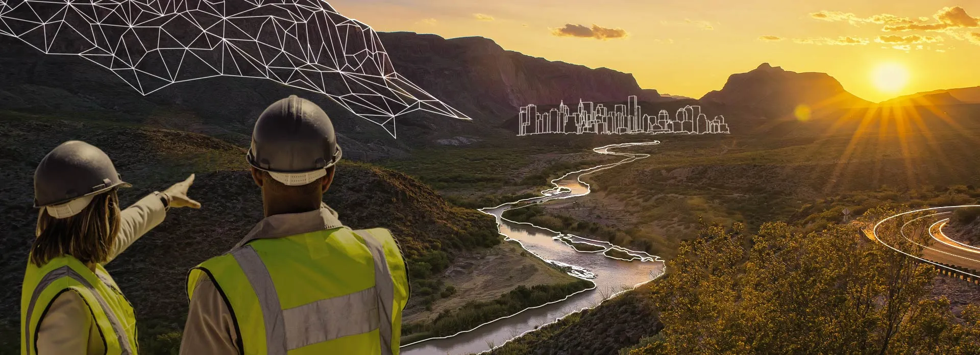
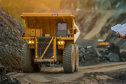
GEOVIA
GEOVIA provides end-to-end software solutions for mining, infrastructure, and urban planning environments to drive productivity, efficiency, and sustainability.
Powered by the 3DEXPERIENCE platform, GEOVIA provides mine planning and geology modelling software that enable geoscientists, earth engineers, and urban planners to design, analyze, and simulate earth’s resources and automate processes helping to improve operational efficiency and optimize resource utilization.
Transform geological data into actionable, value-optimized mining plans.
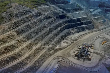
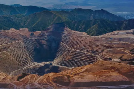
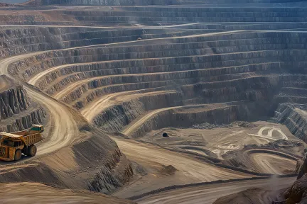
Geology Solutions for Mining and Beyond

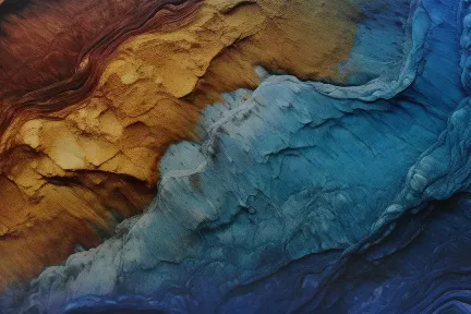
Process and analyze geospatial data in context

Model and collaborate to reimagine our natural and built environment..
GEOVIA Portfolio
Explore our Software and Solutions
Featured Topics
Discover the world of GEOVIA

From Insight to Impact, Intelligence That’s Grounded in Place
Create Accurate, Reliable Geology Models for Mining and Civil Projects

Modernize and Elevate Your Strategic Mine Design
Production Schedules that Balance Immediate Needs with Long-term Objectives
Increase the Value of Your Software Investment by Connecting Surpac to the 3DEXPERIENCE Platform.
Generate More With Less Through Advanced Mine Operations Management
News & Offers
Customer Stories
How Leading Companies are Using our Mining Solutions
Cementos Argos
Supporting Sustainable Development
Colombia-based Cementos Argos is a multi-national leader in the cement and concrete markets. The company chose Dassault Systèmes mining solution to help meet its sustainability goals, grow the business and generate social value.
For Cementos Argos, it's essential to operate in a sustainable manner. We are convinced that this is the right way to generate social value, be profitable and reduce the environmental impact, both from the environmental and community components. Dassault Systèmes has been our strategic partner as we continue to grow together in a sustainable and responsible way in the cement industry.
User Communities
Providing essential GEOVIA resources and active engagement with fellow users
GEOVIA Champions Community
The GEOVIA User Champion program is an exclusive customer network of expert GEOVIA users and top ambassadors. The ideal User Champion is highly skilled in one or more GEOVIA solutions, or manages a team of users and understands the benefits, strategies and use of 3DEXPERIENCE GEOVIA, GEOVIA Surpac, GEOVIA Minesched, and GEOVIA Whittle.
Blogs
Read the GEOVIA blog on the latest news and innovations from our experts.
Events & E-Seminars
E-books, Whitepapers & other Resources
Connect with GEOVIA
Learn What GEOVIA Can Do for You
Speak with a GEOVIA expert to learn how our solutions enable seamless collaboration and sustainable innovation at organizations of every size.
Get Started
Courses and classes are available for students, academia, professionals and companies. Find the right GEOVIA training for you.
Get Help
Find information on software & hardware certification, software downloads, user documentation, support contact and services offering