



Collaborative Designer for Surpac
Enables users to share their data and enrich Surpac with embedded productivity and lifecycle management applications.
角色
高效设计、计划并优化采矿作业和城市中心
3DEXPERIENCE平台上的GEOVIA 可以帮助矿业企业、工程师、地球科学家及城市规划师全面、实时地查看其工作活动和生态系统,能在统一的协同环境和交互式环境中无缝贯穿人员、构思、数据和解决方案。
3DEXPERIENCE GEOVIA使您能够在破土动土之前评估项目价值,从而在施工开始前完成项目设计并对其进行优化。其还为您提供所需的各种工具,使您能够分析和考量运营可持续性,集中处理并管理所有数据以及与世界各地的同事开展合作。
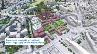
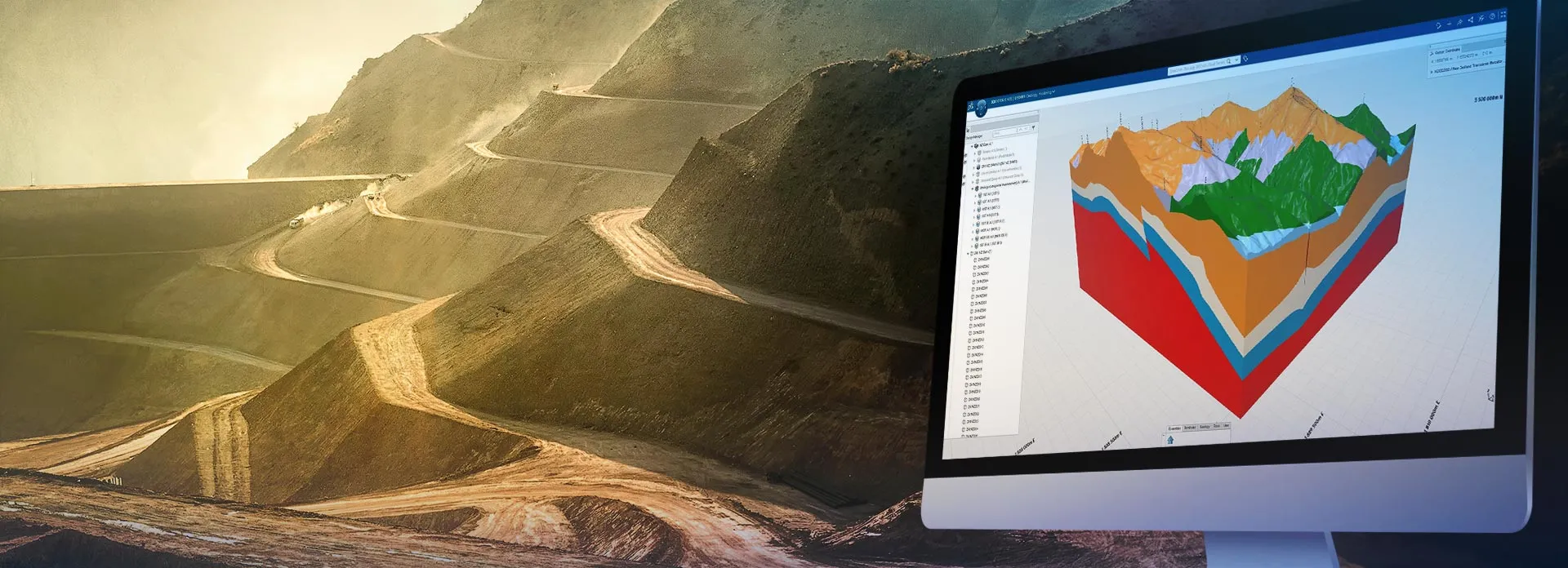
3DEXPERIENCE GEOVIA可为您提供所需的得力工具,用以创建地球表面、地下和基础设施的虚拟孪生,这让您可以运行近乎无限次数的应用场景,从而可视化并分析您的资产和流程、测试您的构思,并探索您的决策可能产生的影响。
应用成效:最终决策是深思熟虑和有理有据的产物,既能提高运营效率,又能优化资源利用。
将地质数据转化为可付诸行动、价值最优化的采矿计划。
采矿及其他领域的地质解决方案
在具体情境中处理和分析地理空间数据
通过建模与协作,重新构想我们的自然和建筑环境。
3DEXPERIENCE GEOVIA 软件产品根据角色进行打包,可确保您的全部所需应用都触手可及,从而更快地跟上进度、更高效地开展作业。请选择与您在企业中的角色相对应的软件包。
Enables users to share their data and enrich Surpac with embedded productivity and lifecycle management applications.
角色
Convert Open Mining Format data to unlock the value of data-driven collaborative and innovative business processes.
角色
Convert Surpac data to unlock the value of data-driven collaborative and innovation business processes.
角色
Consolidate and federate geoscience and engineering information for seamless downstream consumption
角色
Accelerate the creation of 3D geological models of the subsurface environment with the ability to rapidly test multiple hypotheses.
角色
Define & manage the geoscience data referential from geoscientists, consultants and contractors.
角色
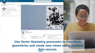
Create, prepare and transform data for insightful data in geospatial context.
角色
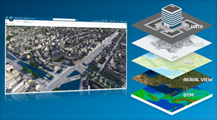
Create and maintain best-in-class territorial virtual twins, enabling sustainable urban transformations and infrastructure projects.
角色
Exceptional geospatial context and collaboration through semantic-rich virtual twins.
角色
Foster holistic geospatial awareness through territorial virtual twin experiences.
角色
Enhance overall value and efficiency with comprehensive planning strategies from optimization to scheduling
角色
Comprehensively evaluate strategic mining plans from development to closure, implementing robust plans prioritizing economic value and ecological responsibility
角色
Generate and evaluate multiple strategic pit, ramp and waste storage facility designs through an automated parametric process
角色
Generate and evaluate multiple strategic development designs through an automated parametric process
角色
在 3DEXPERIENCE R2025x 中,GEOVIA 增强了“虚拟星球”相关角色的功能,提供了涵盖地球科学、地球工程以及城市环境领域的解决方案。
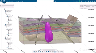
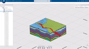
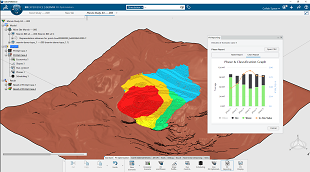
在地球科学领域,采用 Geology Modeler 角色进行地下地质建模时,重点聚焦于扩大可建模的地质环境的复杂性。在地质建模中,通过局部断层能力和来自结构和接触点数据的额外控制参数,模型精准性得到显著提升。通过高级冲蚀 (Wash-out) 与尖灭 (Pinch-out) 定义技术,许多沉积样式地质与矿床能够实现精准建模。
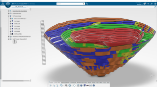
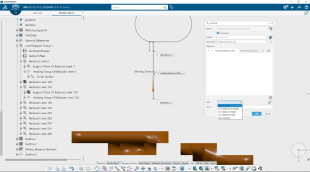
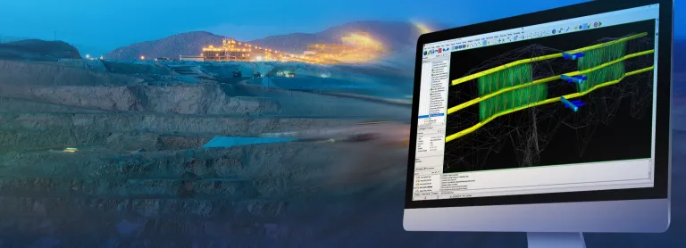
在地球工程领域,矿山设计的覆盖范围有所扩展,并新增了 Underground Mine Designer 角色,为地下开发项目提供了实用且高效的设计支持。通过参数化与数据关联方法,设计人员能够在新数据可用时快速更新设计以节省时间,并通过矿山设计流程提升方案灵活性。
对于露天矿,战略矿山规划人员可以借助 矿井优化器 (Pit Optimizer) 和
Strategic Mine Planner 角色轻松评估多种规划场景,通过减少时间与精力投入,确保制定最合适的采矿计划。通过自定义表达式技术,可针对性地制定更综合全面的采矿战略,将可持续性变量与复杂的生产变量纳入统一框架。通过与 Surface Mine Designer 角色的无缝集成,规划和设计流程得到了转变和提升,新增的斜坡设计功能有助于保持关键的安全性、实用性和财务要求。
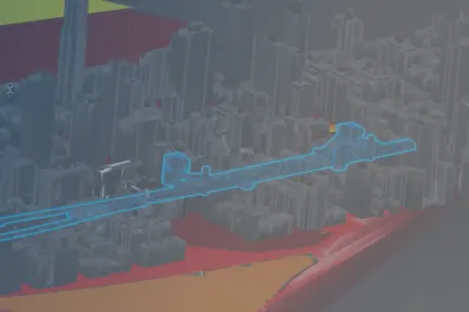
借助 City Contributor 角色,在地域虚拟环境中体验环境仿真结果,城市环境解决方案如今能够让科学界和政策制定者更紧密地开展合作,共同应对复杂的城市可持续发展挑战。 City Referencial Manager 角色现在可在 3DEXPERIENCE 平台上支持从大规模城市尺度到建筑设计尺度的无缝数据导航,覆盖建筑模型的全维度表现形式。以建筑为中心的数字化体验现在可以利用 IFC 标准,实现从地理信息到产品全生命周期信息的无缝衔接与全面导航。
采矿行业瞬息万变。了解如何利用GEOVIA保持遥遥领先
先进的战术矿山计划与排程
综合全面的矿山计划和地质建模软件
高级战略矿山计划
提升效率并最大限度提高生产力
全球采矿专业人员培训
为明日领袖提供鼎力支持
与 GEOVIA 专家交流,了解我们的解决方案如何助力各种规模的企业实现无缝协作和可持续创新。
课程面向学生、学术界、专业人士和企业开放。找到适合您的 GEOVIA 培训。
查找有关软硬件认证、软件下载、用户文档、支持联系人和服务项目的信息